When the Rains came
May 18 2005 the rain started falling, and falling.
And falling.
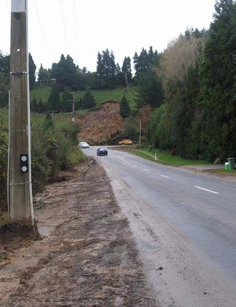
By the time it had finished 36 hours later, the Tauranga district had received 310mm of rainfall and the city was in a state of civil emergency.
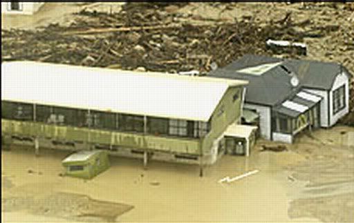
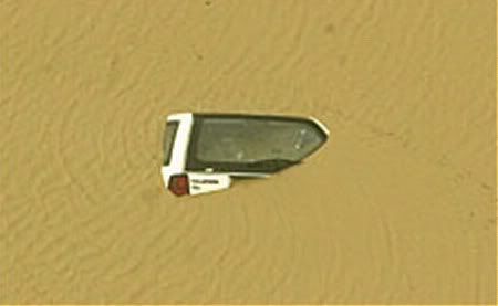
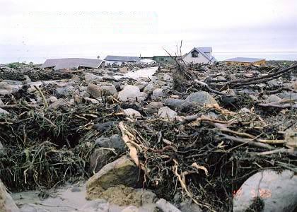
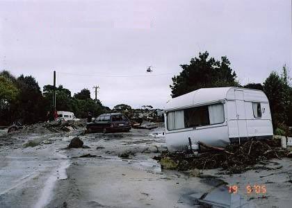
As the floodwaters started to subside, the news filtered through that Matata, a small sleepy coastal village an hour's drive south was all but destroyed by rampaging floodwaters carrying rocks and boulders, houses and cars within its torrents and leaving devastation in its wake.
These are the pictures of the May 2005 floods. Some are scanned from newspapers, some borrowed from news sites, some were taken by other people, some I took myself.
Newspaper article links:
New Zealand Herald - Tauranga
New Zealand Herald - Matata
New Zealand Herald - Index to Flood articles
TAURANGA
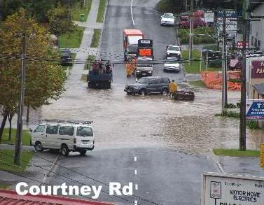
Courtney Rd, Tauranga city
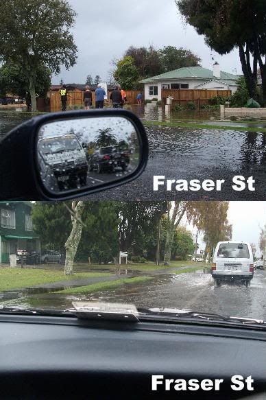
Fraser St, Tauranga city
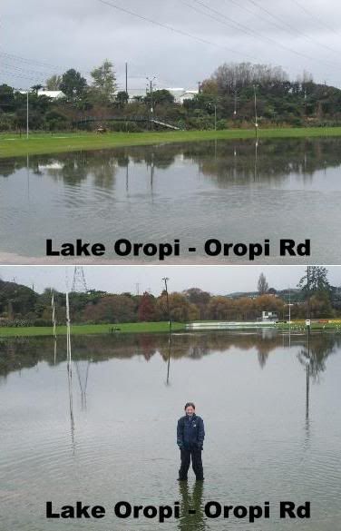
Greeton Marist rugby park, Oropi Rd
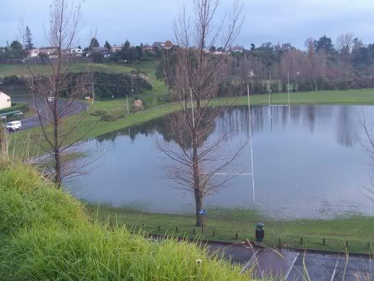
Greeton Marist rugby park, Oropi Rd
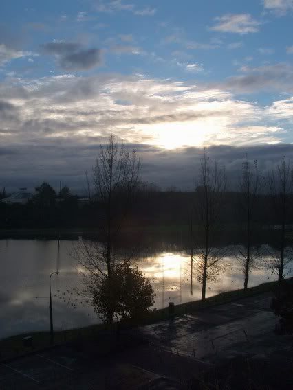
Greeton Marist rugby park, Oropi Rd
Ngapeke
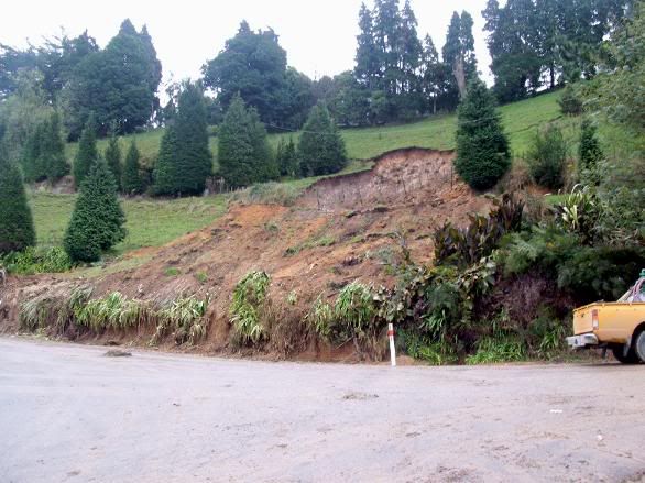
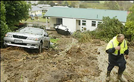
Montgomerie's hill, Ngapeke, Welcome Bay
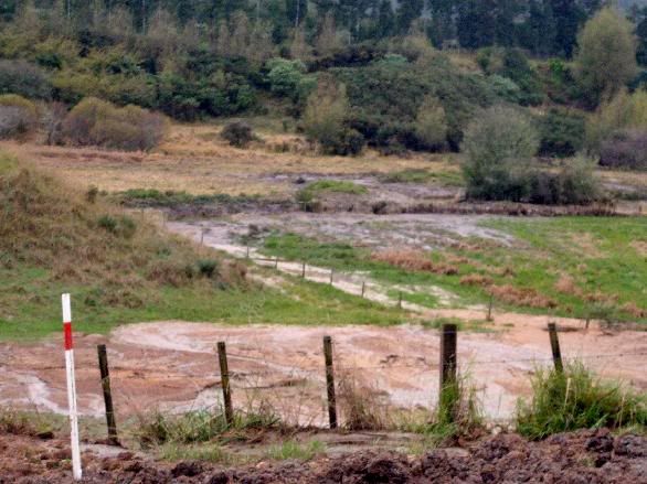
Sellar's farm, Ngapeke, Welcome Bay
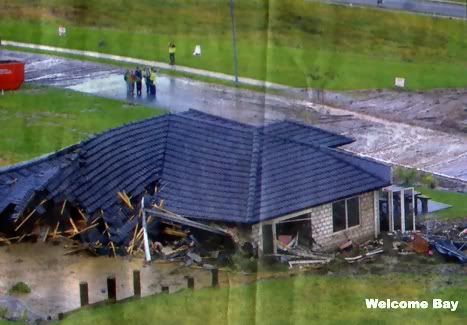
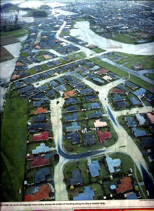
Welcome Bay
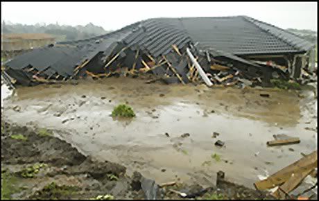
Welcome Bay
Welcome Bay

Landscape Rd, Otumoetai, Tauranga City
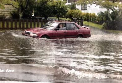
Links Ave, Mt Maunganui

Burrows Street, Tauranga city
Papamoa
Matata, Eastern Bay of Plenty
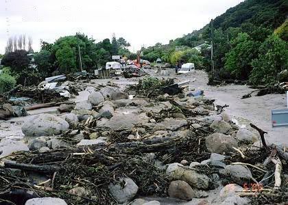
(Above Matata photos courtesy of Julie in Whakatane).